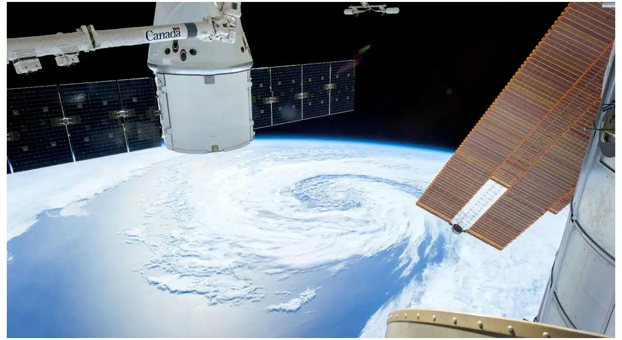
Cyclone Fengal updates: A deep depression in the Bay of Bengal turned into a cyclonic storm, according to India Meteorological Department on Friday. It has been named Fengal, which would reach near Puducherry on November 30 morning by touching the land between Karaikal and Mahabalipuram along with heavy rain, wind blowing, and even flooding at a distance.
According to Cyclone Fengal updates, the high tides and strong winds have already reached Chennai as the cyclone draws close to the seashores. IMD issued advisories against fishermen venturing into the sea. Schools in Chennai and Chengalpattu districts stayed closed on Friday after intense rainfalls hit early in the day.
Cyclone Fengal update: Meteorologists predict heavy rainfall
Meteorologists foresee widespread rainfall over Tamil Nadu and Puducherry. Most Extremely heavy rains are likely over Delta districts, Viluppuram and Cuddalore. The wind speed is going to be around 70-80 km per hour gusting up to 90 km per hour during its peak intensity.
Cyclone Fengal Update: Places Under Threat
Currently, the storm is located 270 km north-northeast of Trincomalee and about 380 km southeast of Chennai. It is now driving northwestward and will assumably cross the Tamil Nadu-Puducherry coastline on Saturday. The influence of Fengal may bring moderate rainfall in the coastal Andhra Pradesh too.
Authorities are already on a state of high alert, and disaster response teams are on standby deployment in affected areas. Met officials say all necessary precautions to be taken, mainly those on low-lying coasts.
Also, see: Elon Musk plans to reach Mars in 90 days: Here is how
